


Here are few pointers and REV Tips for success for those wishing to tackle the Oceanside Double Century on October 27, 2018. The event is put on by my friend and awesome human being, Anny Beck of Mountain High Cycling. The route covers many of the roads I use to train on a regular basis. I have intimate knowledge of these roads and know just about every roller and pothole on this course.
A few other things I would like you to keep in mind as you ride the 194 miles and 15,700 ft of climbing.
Your number one priority should be to climb out of Borrego Springs on Montezuma Grade before 1pm. The winds can kick up something horrific and can make the 11 mile climb as much as 2 hours of grinding into the wind which is generally a downdraft from Ranchita (town at the top) but can also have no apparent wind direction except for keeping you from climbing up. From time to time you might get a tailwind but it is short-lived. Early starters should get down Banner Grade (descent from Julian) to Yaqui Pass and through Borrego Springs before the winds kick up too bad. The LEFT turn MILE 99 on to Borrego Springs Rd can be a freaking wind tunnel with winds as much as 20, 30, 40 mph. It will be a very stiff block headwind for only a handful of miles but it can be very humbling to be pushing your hardest into that wind and only going 8-10 mph on flat terrain.
Ok so what about before Borrego Springs which is nearly 100 miles into the ride? I suggest quick stops on the outbound portion of your event. Remember it is key to climb out of Borrego Springs before 1pm (preferably earlier of course). The first 19.8 miles are flat until the LEFT onto La Bajada then you will have steep rollers through Rancho Santa Fe. Rancho Santa Fe roads are some of the worst roads on this route even though it is the most expensive place to live in San Diego County and even nationally. The roads are very narrow as well. Be careful on Del Dios Hwy make sure you are very visible someone was hit during this event a year or two ago.
MILE 40 Hwy 78 you start a long gradual climb for the next 10 miles. Some sections are really narrow – stay single file. Stay alert with your head on a swivel. Personally, I never ride this road on my training rides.
Old Julian Hwy is one of my favorite roads in San Diego County MILE 51 ish to MILE 59 ish. Wynola at MILE 68.5 is another one of my favorite roads. Some of the best country riding on the route.
Don’t miss the RIGHT turn at MILE 71.8 onto Farmers Rd. (slight downhill) There has been sand and gravel on that hard right turn for months so be careful. Farmers Rd has about four kickers of double digit grades so be ready for them.
LONG descent from Julian to Yaqui Pass MILE 74 ish TO MILE 94 ish and the winds do all kinds of swirling on your descent. Yaqui Pass often has a tailwind climbing it. You also may also have a tailwind once you summit Yaqui Pass until the LEFT onto Borrego Springs Road (MILE 94 ish – 99 ish)
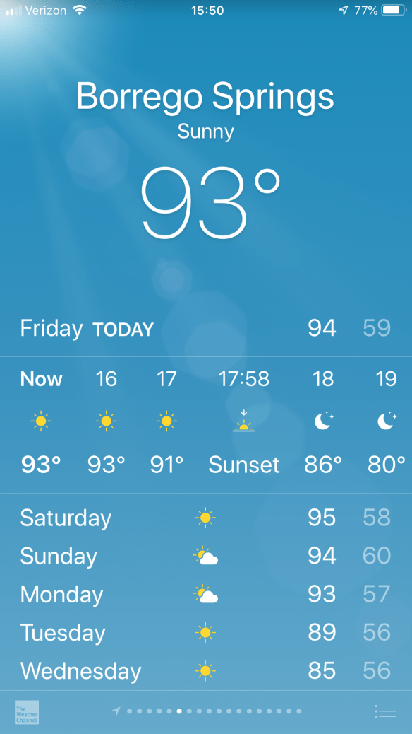
Montezuma Grade is tough at any time in a ride but especially so with 100 plus miles ad about 8,000 feet of climbing on your legs. The forecast for Borrego Springs is a high of 95F. But the heat coming off the pavement can raise the ambient temperature where you are riding by an additional 10F degrees. Of course as our luck would have it we are riding on the hottest day of the week through Borrego Springs and Puama Valley with a cooling trend starting on Sunday.
Fear not though after slogging up Montezuma grade you are rewarded with A LOT of downhill from Ranchita MILE 117 – MILE 154.9 to Cole Grade. Cole Grade is a tough steep climb with sustained sections of double digits. It is my preferred road to exit Puama Valley because the traffic is significantly less than Valley Center Road. Cole Grade has a few rollers but it is generally downhill until Miller Rd. Miller is generally downhill until Valley Center Rd. Miller is a RIGHT turn after the big downhill and uphill through the traffic light (you’ll know it when you see it and you will laugh at my description) don’t miss the turn RIGHT MILE 161 Miller Road is safer than staying on Cole Grade to Valley Center.
MILE 167.3 RIGHT to stay on Lilac is easy to miss. Lots of rolling terrain with a lot of generally downhill sections following poppers. The hard part of the double is all behind you now. You are literally going downhill for the next 20 ish miles and onto the bike path. If it is mid to late afternoon you will have a block headwind again. But if you are on the bike path after sunset it is easy cruising into the finish. It is advisable that you have paired up with at least one other rider for the last 8 miles on the bike path to Oceanside so you can share the workload.
I wish everyone good luck and tailwinds!
If you haven’t already download the Epic Weather Ride App here. It based on your start time and averages speed it will give you a forecast for the entire route. As you know you can’t rely on the weather forecast for the start/finish town since you are doing a Big Ass Loop of 200 miles 🙂 Download it and use it — it is REV RECOMMENDED!
